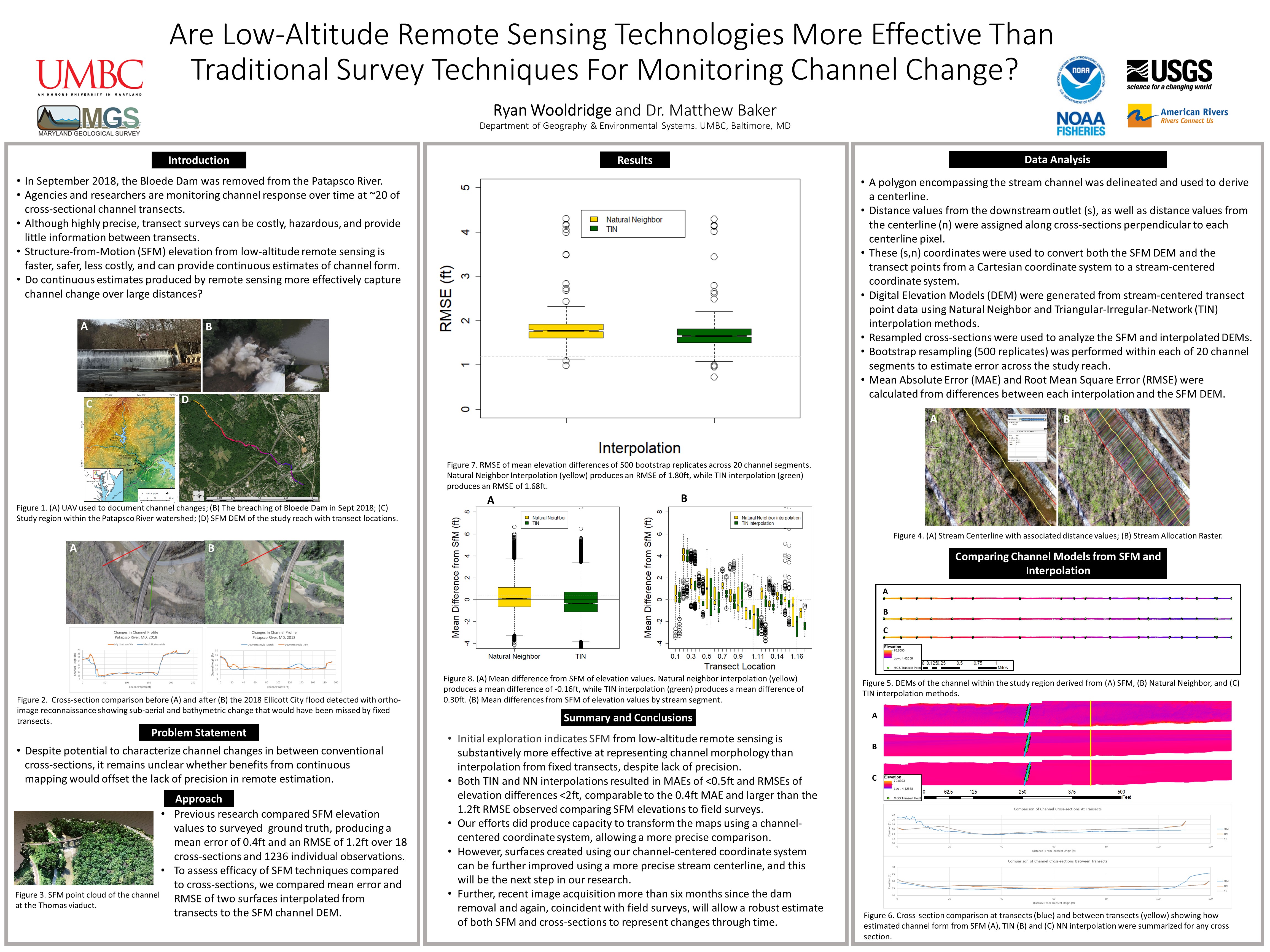
Are Low-Altitude Remote Sensing Technologies More Effective Than Traditional Survey Techniques For Monitoring Channel Change?
Converting modeled and interpolated digital elevation models from Cartesian to Stream-Centered coordinate systems for more accurate assesment of efficacy.